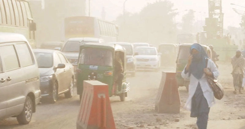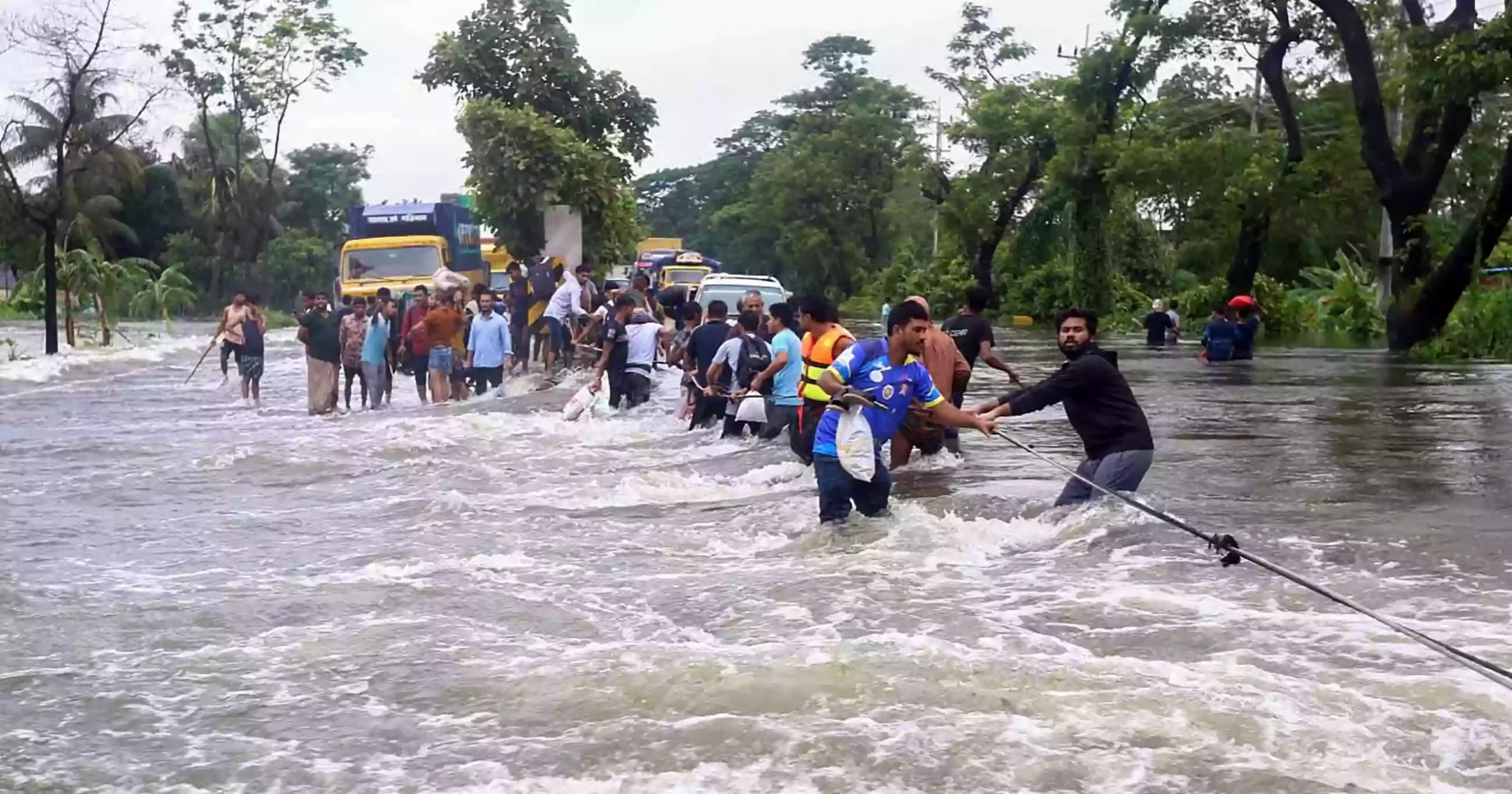
Desk report: The Flood Forecasting and Warning Centre (FFWC) of Bangladesh issued a warning on Sunday that low-lying areas in Sylhet, Rangpur and Rajshahi divisions could experience short-term flooding within the next 24-72 hours as water levels in major rivers continue to rise following heavy monsoon rainfall.
Sources familiar with the matter said India continues to share real-time flood-related data to Bangladesh under an established bilateral cooperation framework.
At a time when timely hydrological data is critical, the real-time sharing of information plays an important role in improving flood forecasts and enabling early warning systems that help protect communities living in flood-prone regions.
Bangaldesh and India have maintained long-standing cooperation on transboundary river management through the Joint Rivers Commission.
Under this arrangement, India provides Bangladesh with information on river water levels, discharge rates, rainfall patterns and forecast assessments from key monitoring stations on the Ganges, Brahmaputra, Teesta and several other shared rivers. These datasets can be used to assess evolving river conditions, issue timely alerts and adopt preparedness measures.
Recognizing the impact of changing climate patterns on the monsoon season, Bangladesh and India agreed in 2022 to extend the annual flood data-sharing period. Previously, information was exchanged from May 1 to October 15.
The revised arrangement now continues until October 31, allowing better monitoring of late-season floods and flash flood risks.
Efforts have also been made to improve the speed of communication between the two sides.
In 2023, officials from India’s Ministry of Water Resources and the Bangladesh Water Development Board started sharing flood forecasting information through instant messaging platform to supplement formal communication channels.
This facilitates the rapid exchange of real-time flood forecasts and hydrological updates, helping reduce delays in the dissemination of critical information.
In addition, the weather and flood forecasts published by the India Meteorological Department for neighboring states, including West Bengal and Assam, also provide valuable situational awareness.
Such information is seen “useful” to anticipate developments upstream and make informed decisions regarding emergency preparedness and response.